A multi-pronged approach to overcoming knowledge barriers on the ecology and status of dugongs in Johor: Towards critical habitat protection (MY4).
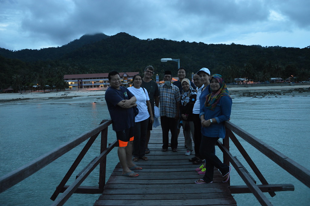
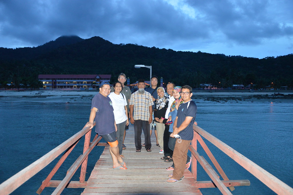
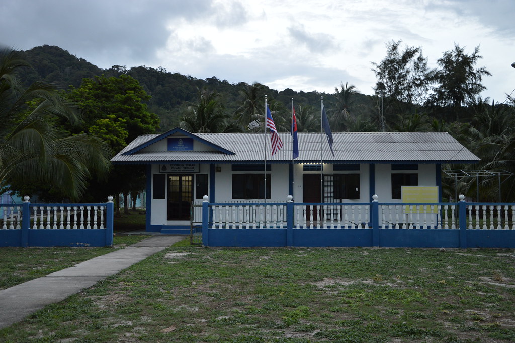
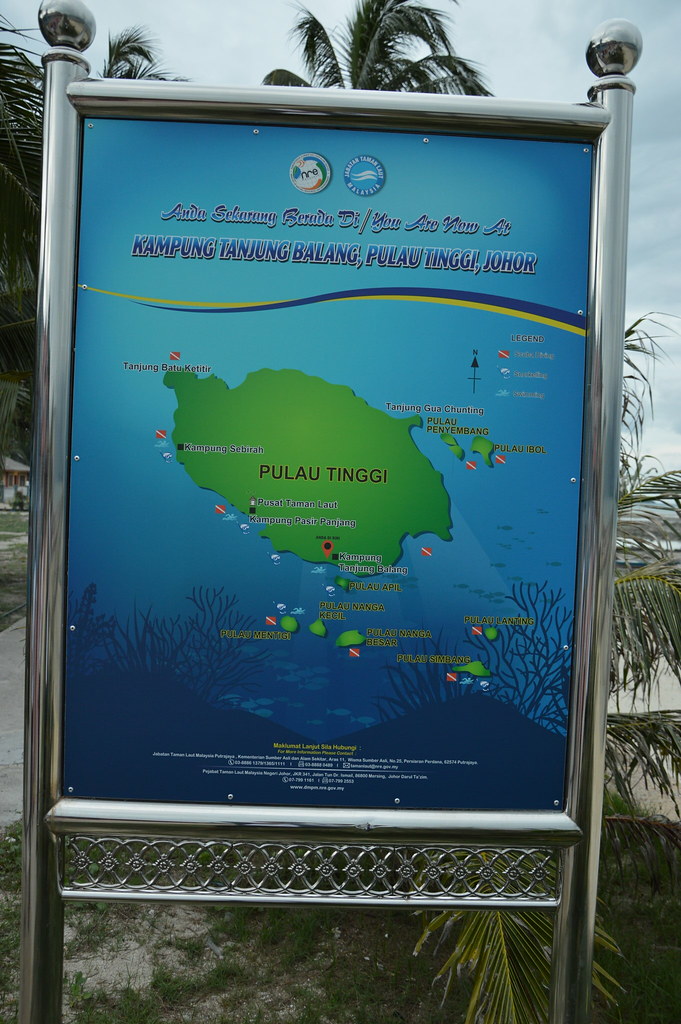
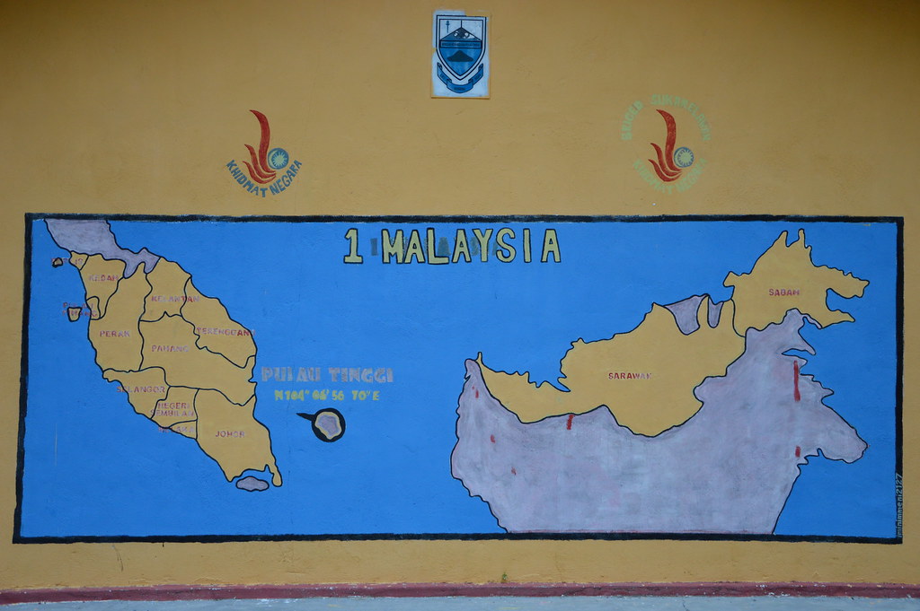
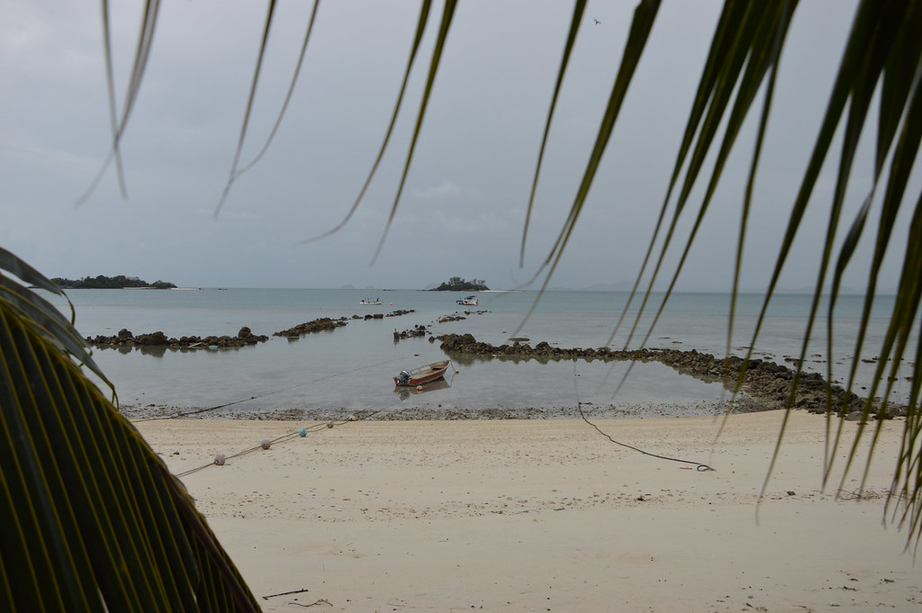
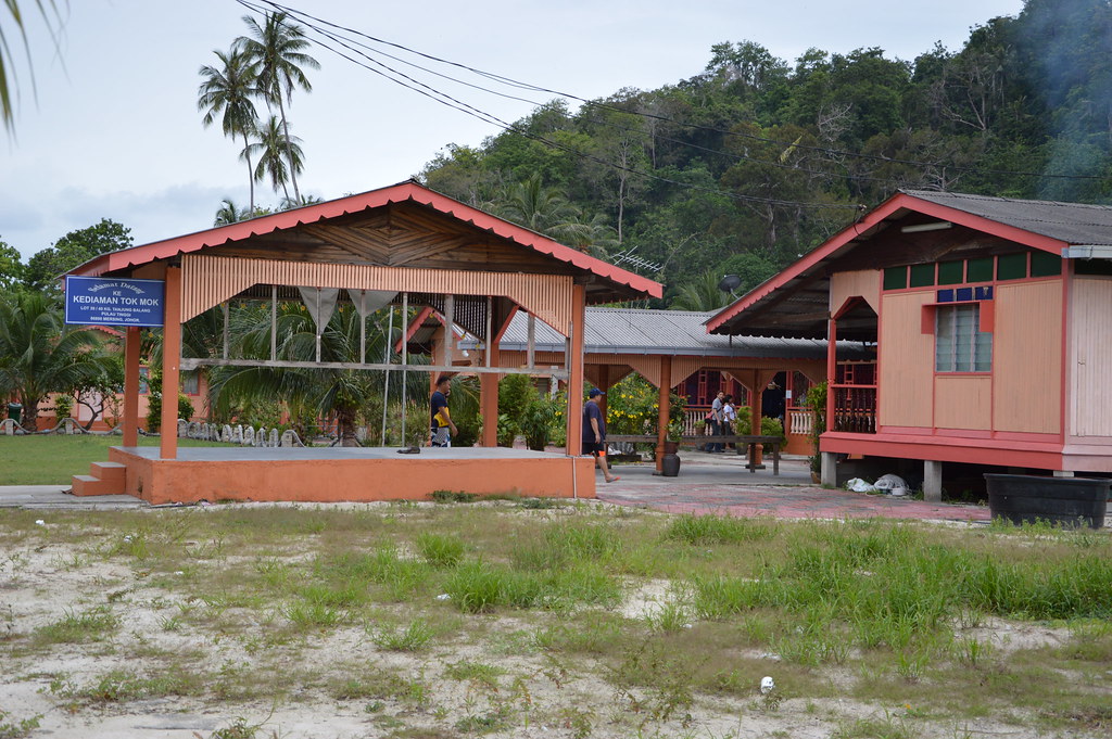
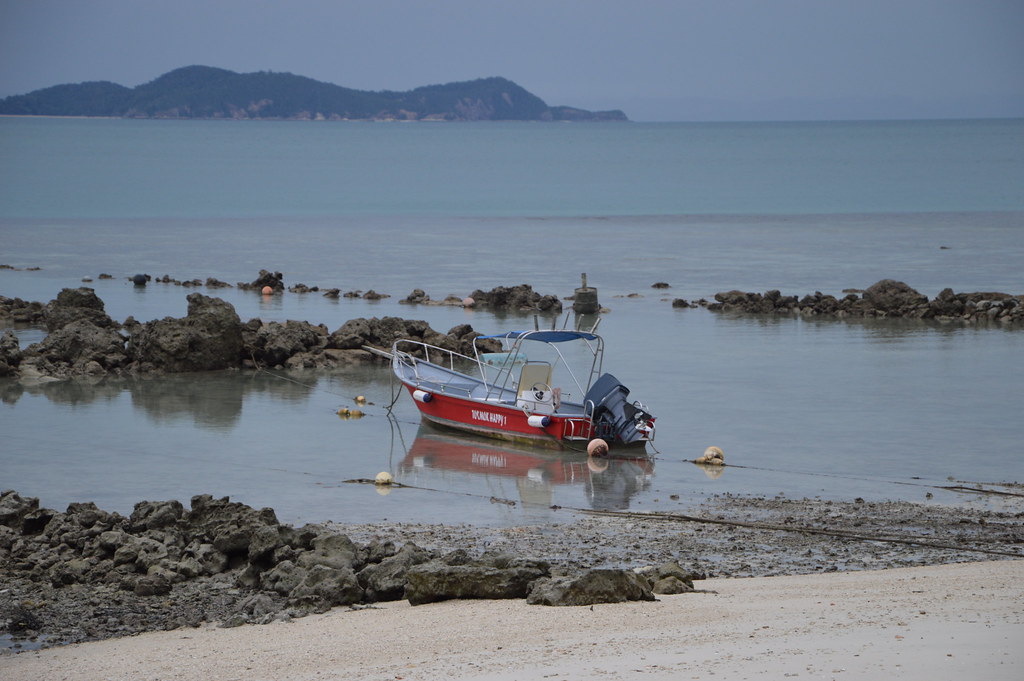
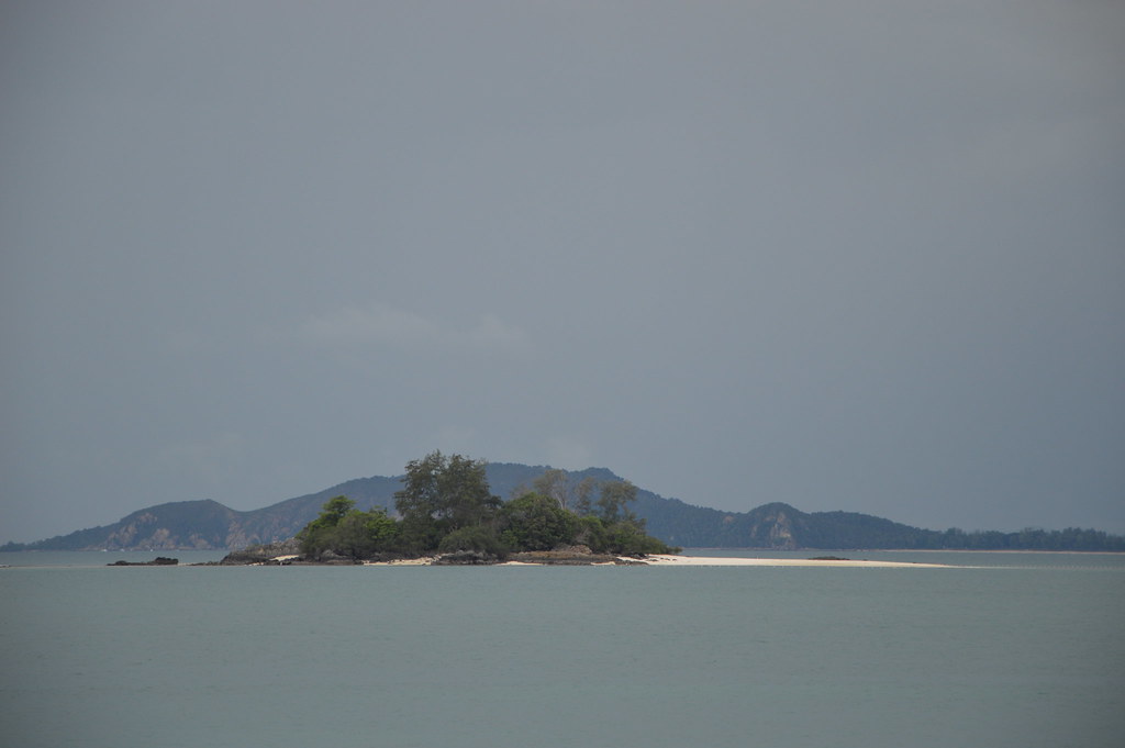
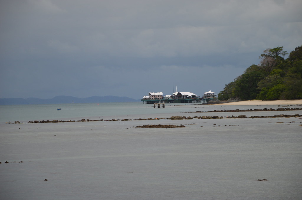
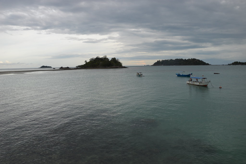
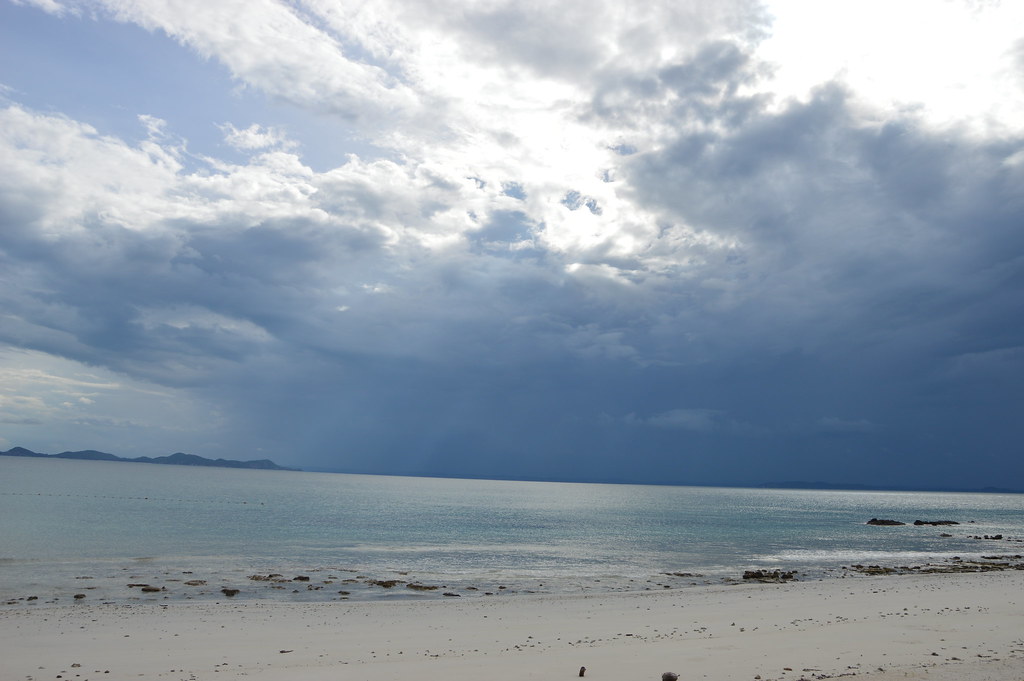
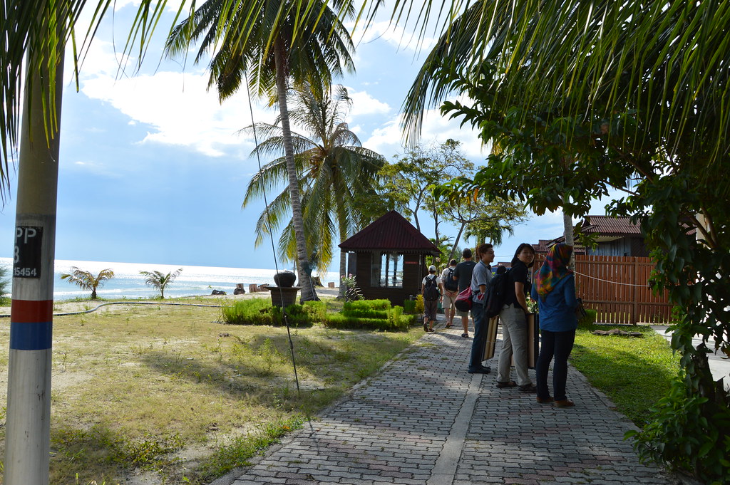
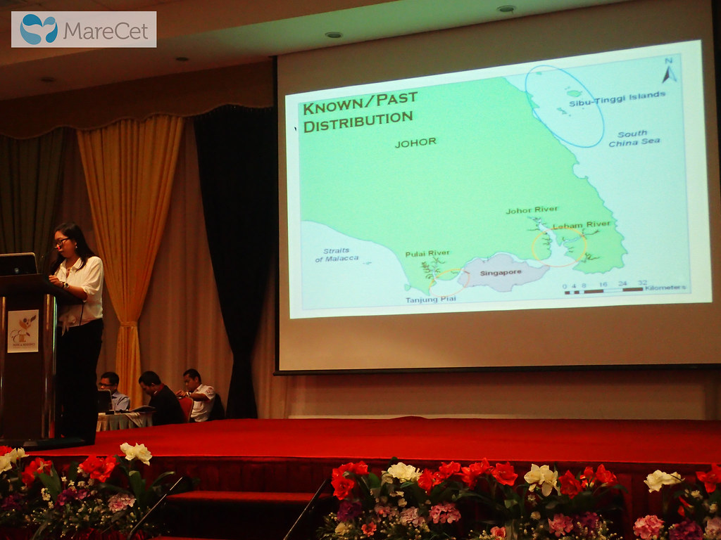
Malaysia: Sultan Iskandar Marine Park, Sibu and Tinggi Islands, and Johor coast.
$73,557
This project aims to overcome knowledge barriers that hinder the understanding of dugong and seagrass conservation needs in Johor, Malaysia, in order to enable the comprehensive development of tangible and effective conservation and management plans, including the extension of current MPA boundaries to include seagrass meadows critical to the dugong.
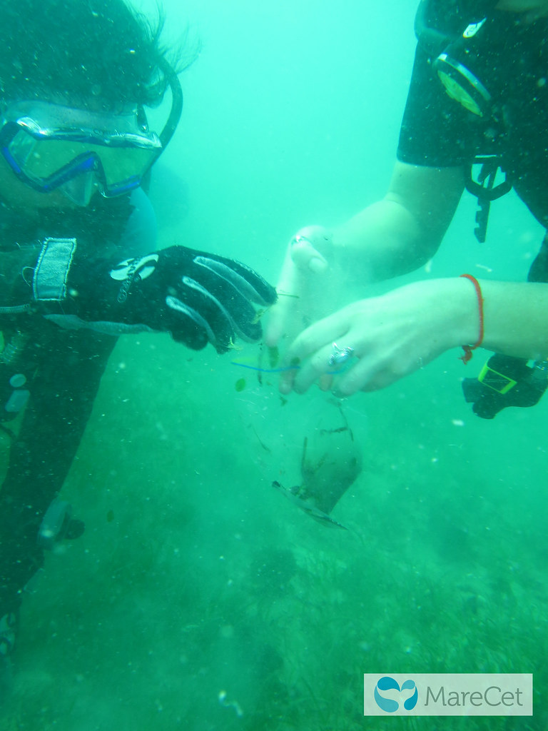
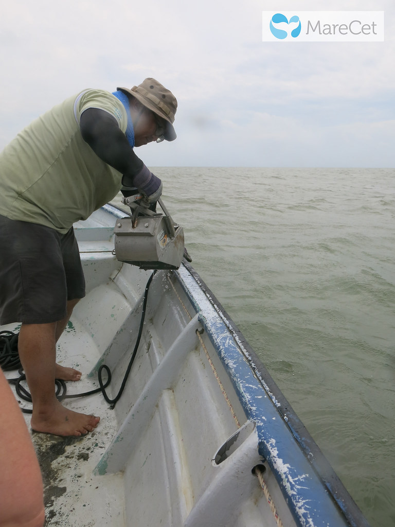
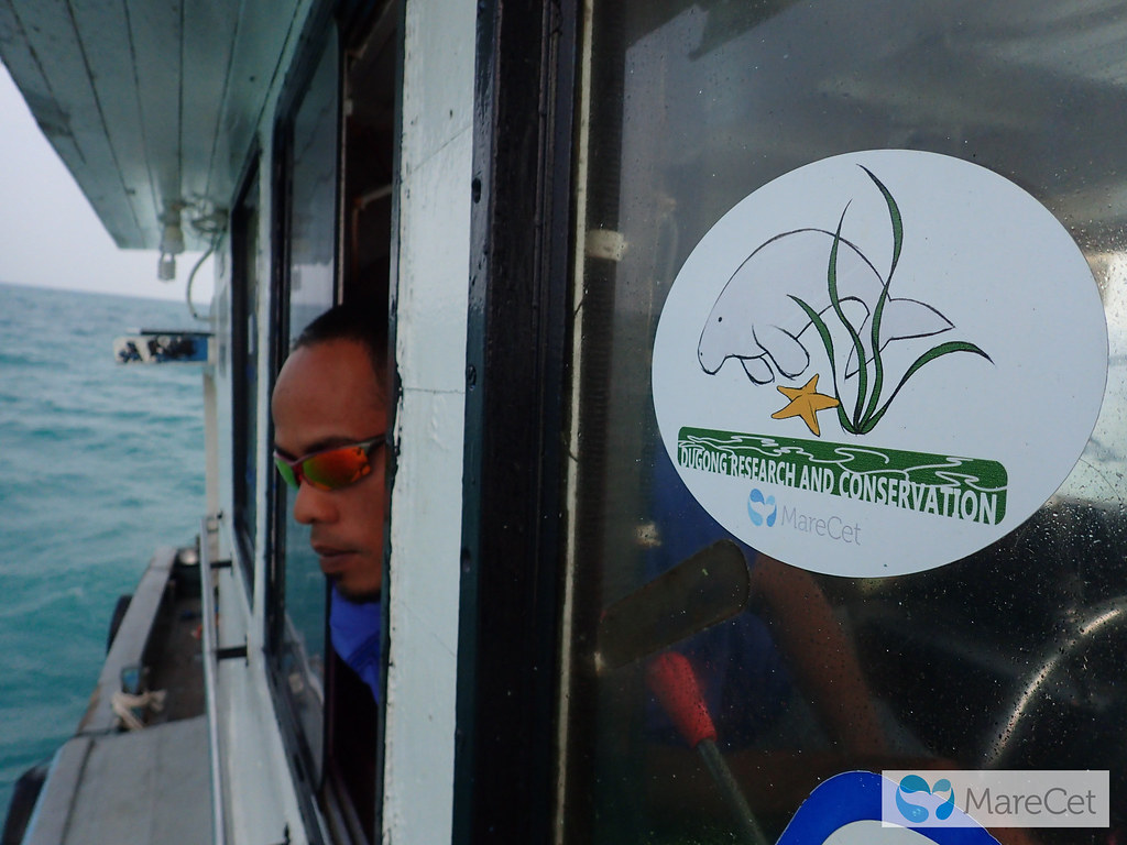
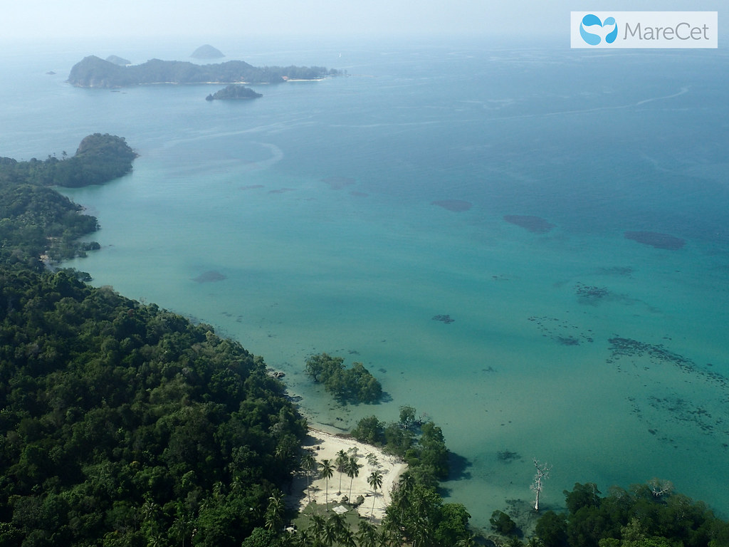
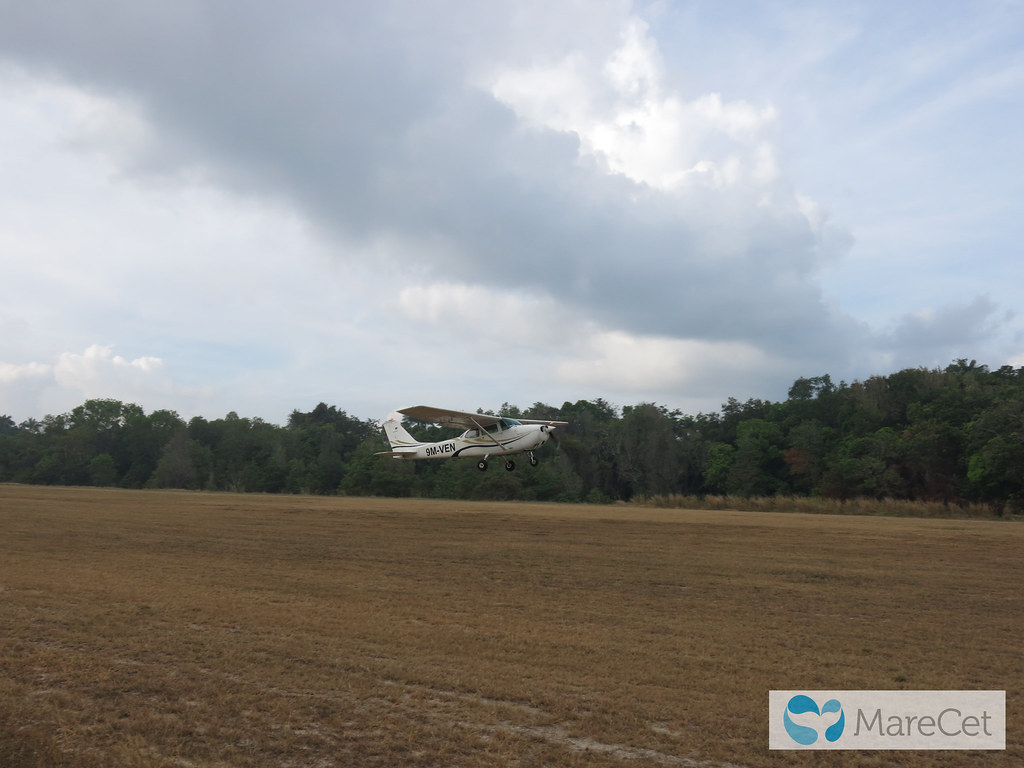
MY4 will employ aerial surveys to: 1) determine the year-round distribution of dugongs off the Johor east coast; 2) calculate encounter rates in the area; 3) observe dugong behaviour (where possible); 4) identify the distribution of human activities; and 5) observe the presence of other seagrass-dependent species.
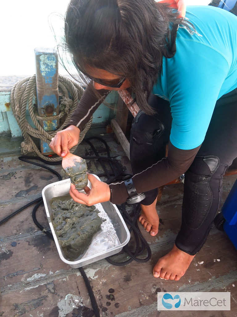
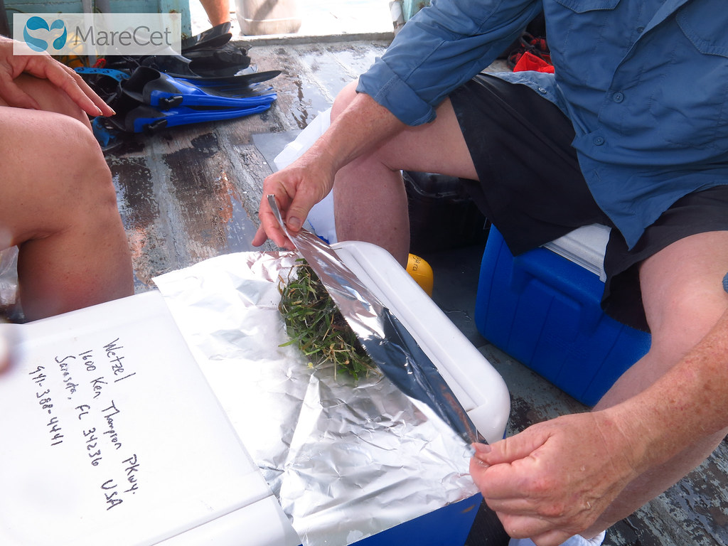
The project will also assess environmental contaminant levels and conduct health risk assessments for dugongs in the area (Johor east coast and islands); map seagrass areas and study their diversity, biomass and nutrient composition; and determine the total economic valuation (TEV) and socio-economics of these seagrass habitats.
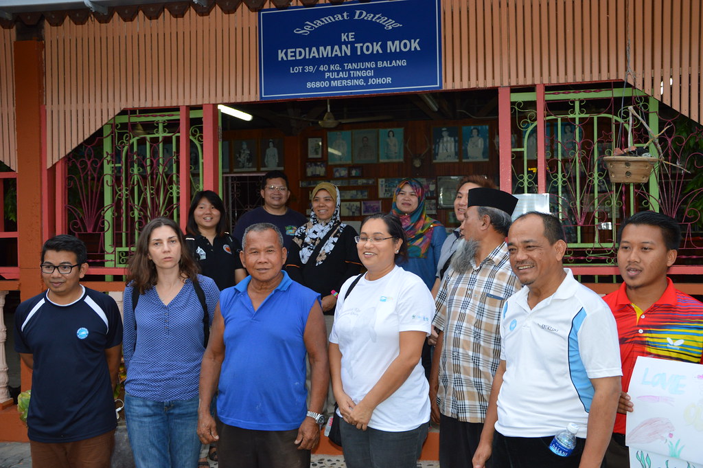
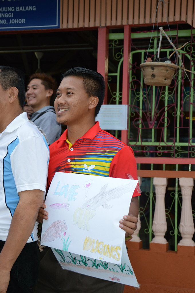
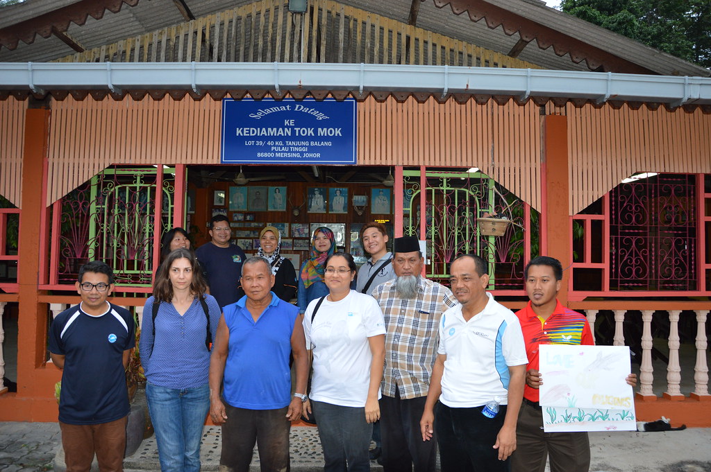
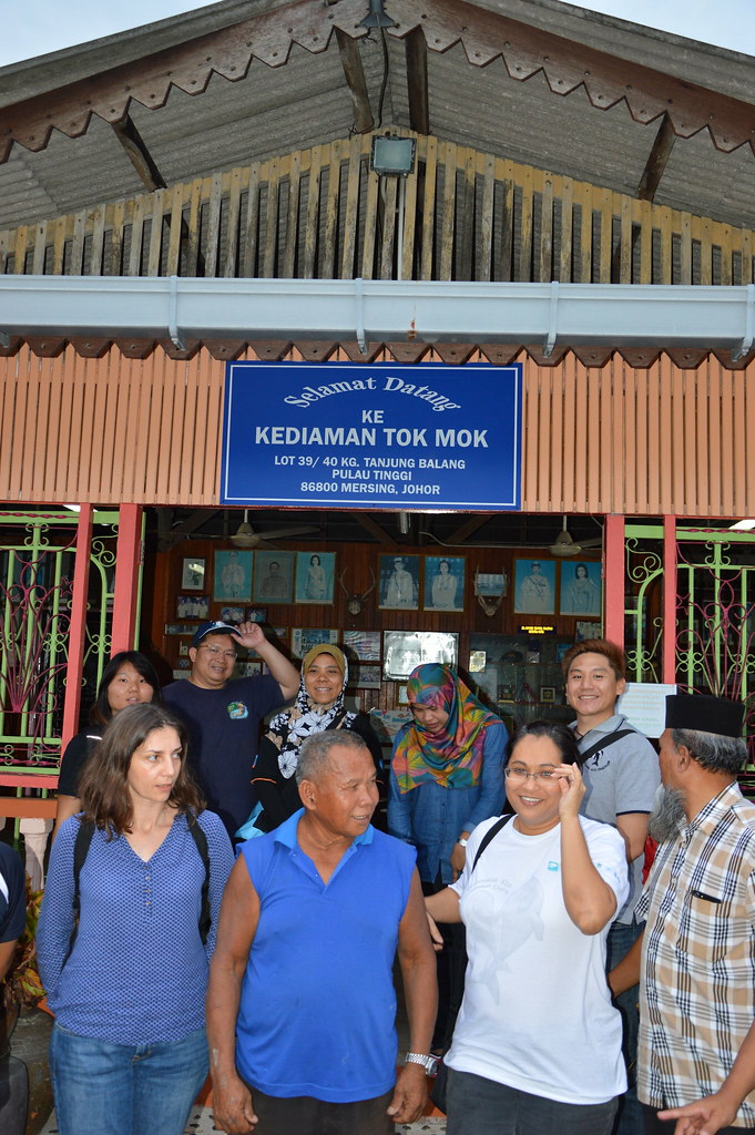
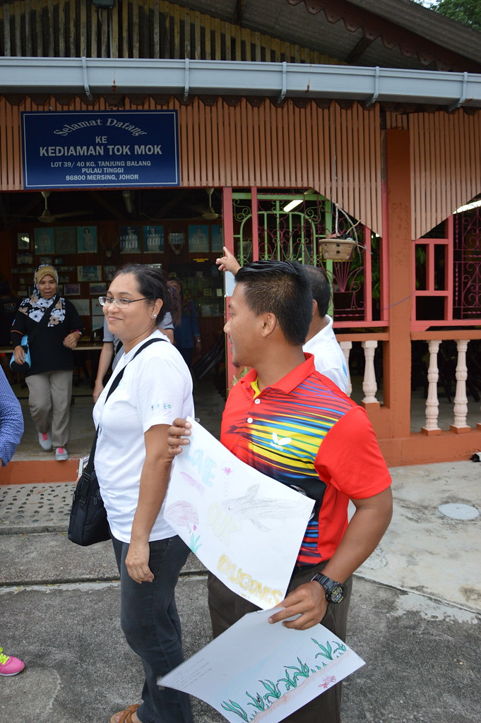
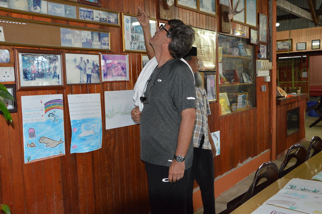
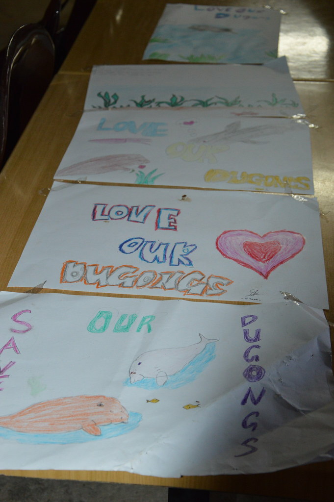
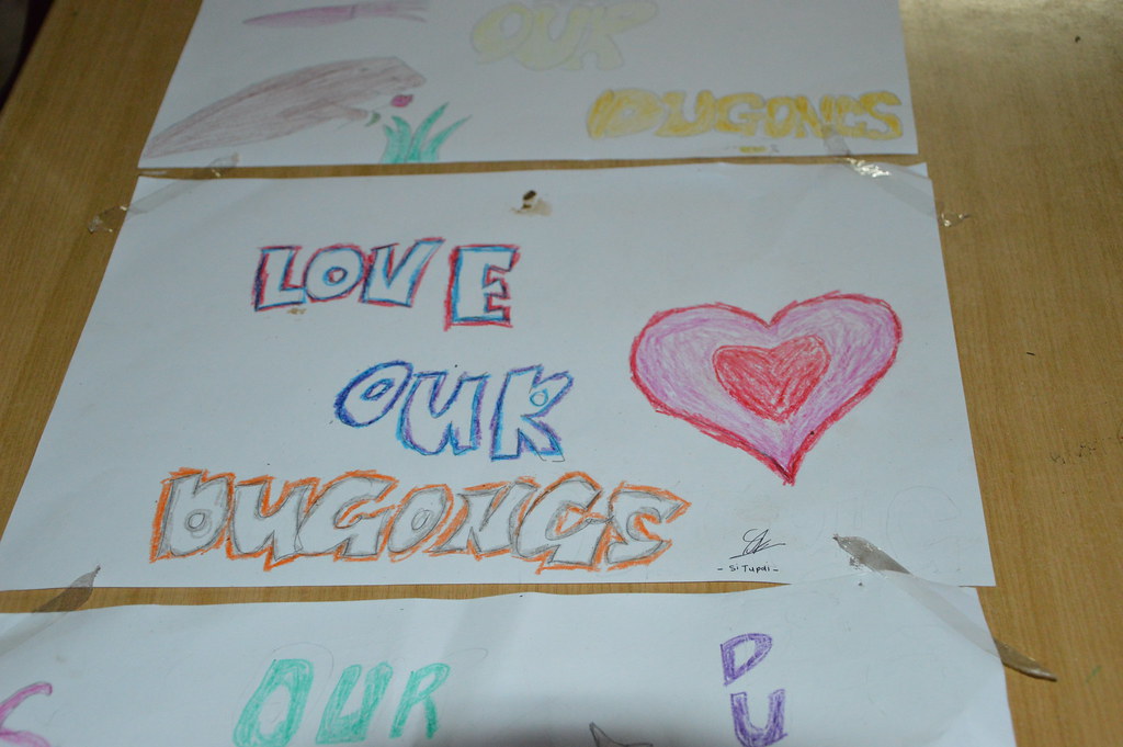
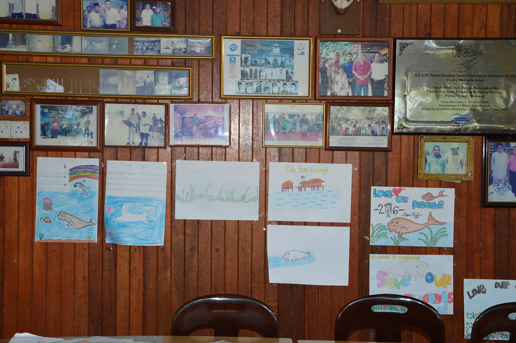
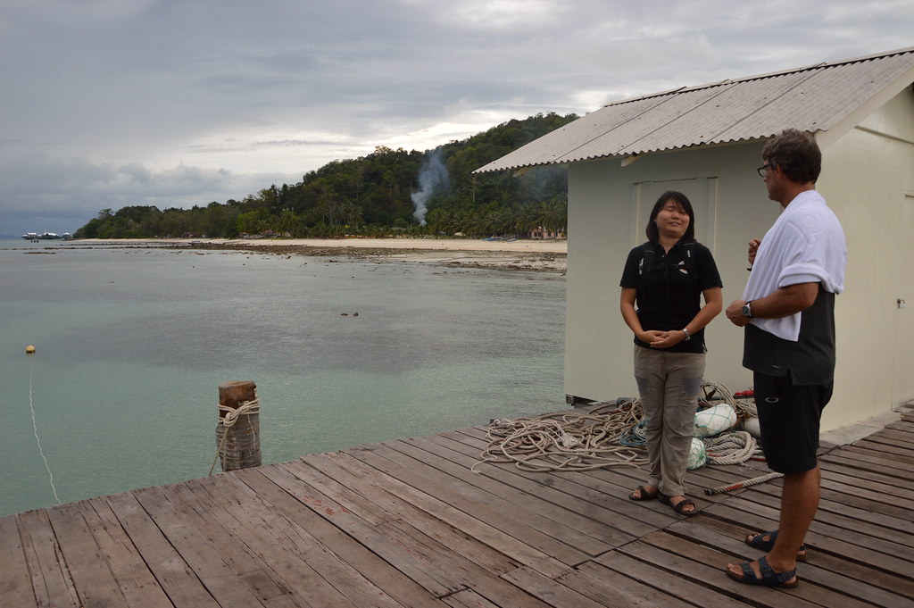
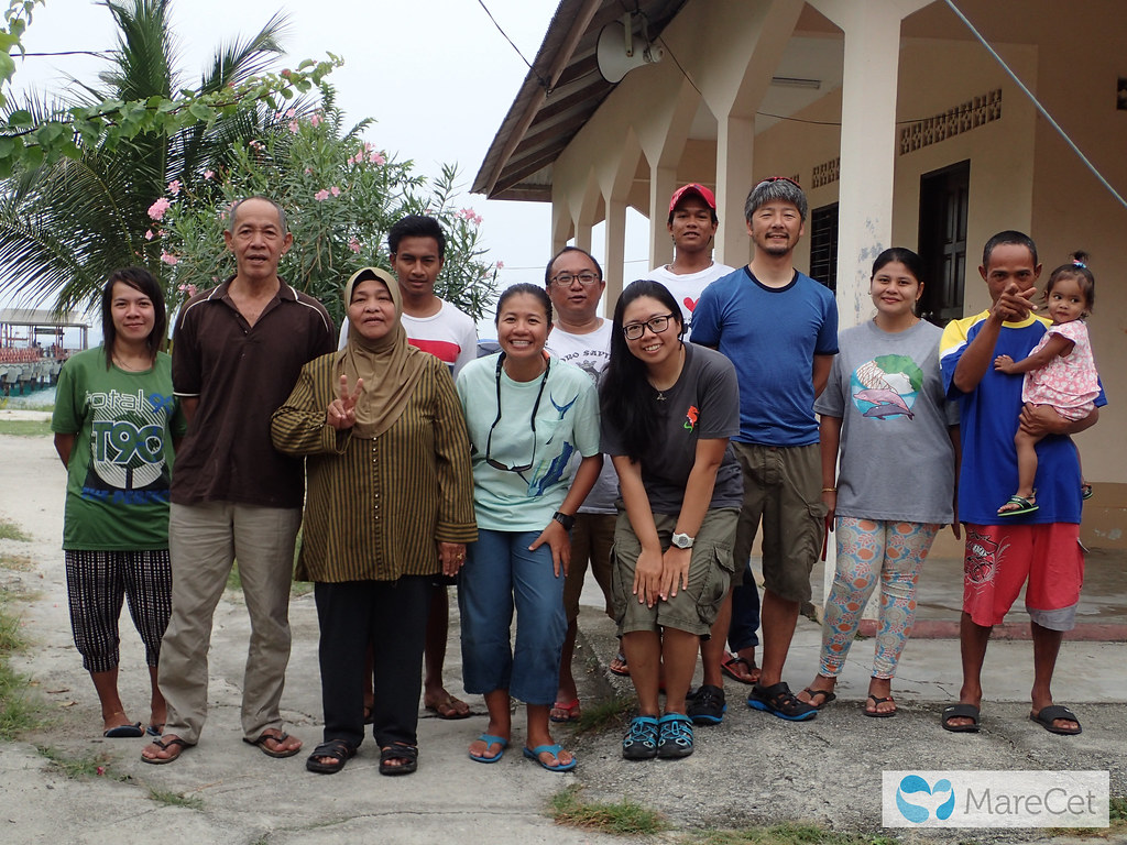
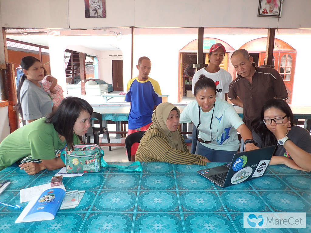
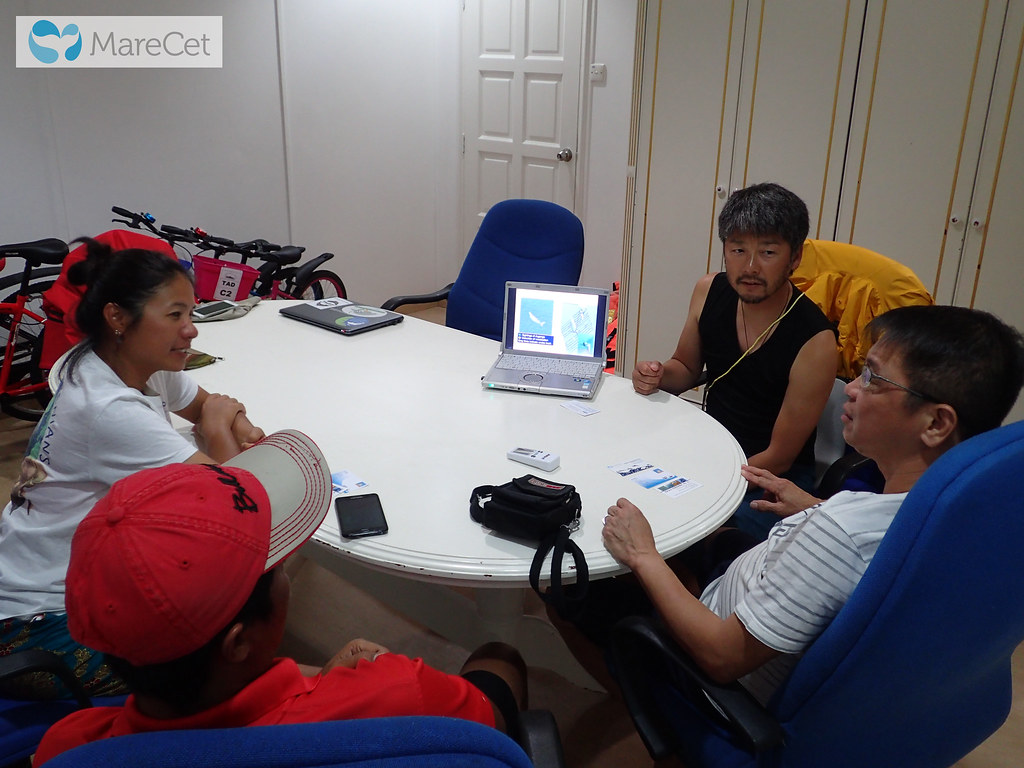
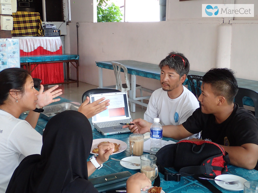
The findings of these surveys and assessments will be presented to the local community and relevant government agencies, and subsequent roundtables/consultative discussions held with relevant community stakeholders, authorities and businesses to discuss: 1) the implementation of speed limit zones in areas of high dugong occurrence; and 2) the establishment of a Marine Protected Area or Locally Managed Marine Area for dugongs and seagrasses.
Deliverables
- Map and analyse seasonal distribution and patterns of occurrence of dugongs, and identify “congregation sites” using GIS-based spatial analysis.
- Map the distribution of other marine fauna (e.g., turtles, cetaceans, sharks) and human activities within the area of the study site.
- Gather information on contaminant levels in the environment and the extent of associated health risks to dugongs.
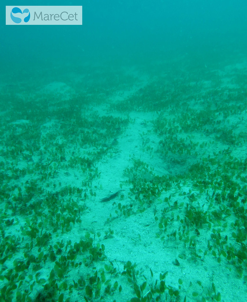
- Update seagrass maps for the project site as well as new information on biomass of seagrass consumption by dugongs and the diversity and nutrient composition of seagrass.
- Collect information on the TEV and socio-economic values of the project site.
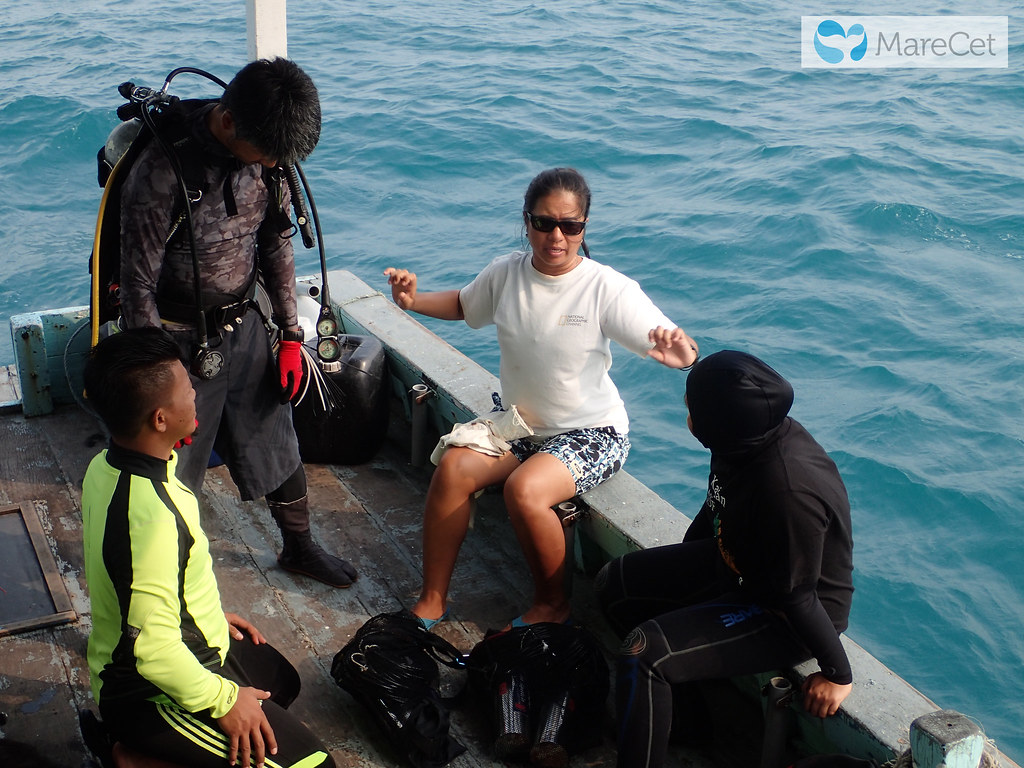
- Increase local capacity in dugong research and conservation efforts, especially among Marine Park staff/rangers.
- Initiate marine protected area planning for dugongs and seagrass habitats, involving all relevant stakeholders.
- Establish guidelines for a “Slow Down for Dugong” speed limit zone and means of enforcement.
- Contribute critical input for marine protected area planning by DMPM, DOFM (link with project MY1).